Start at the ground to measure flood depth
A classroom floor can sit above sea level. If water covers that floor, the depth above the floor differs from the water’s elevation above sea level. Always mark where the ruler starts.
Work it out, one step at a time
Use the same reference level
water: 5 m; ground: 2 m
Both elevations begin at the same reference sea level.
Subtract to find local depth
5 − 2 = 3 m
Three metres is water above this patch of ground, not a universal tsunami height.
Words made simple
- Runup
- The elevation above reference sea level at the inland limit reached by the water.
Think about it: Two locations have the same water-surface elevation. Must their flood depths match?
No. Different ground elevations produce different local depths. For a real tsunami, follow local warnings and evacuation instructions; these pictures cannot determine safety.
Where the numbers come from: IGN. The illustration and worked model are made for this lesson; assumptions are stated above.
Go further: definitions, formulas and a second example
A single height can refer to water above sea level, water above local ground, or the elevation reached on a slope. Those are three different measurements. Understanding the reference point is essential before comparing footage, reports or an educational simulation.
Sea level and local ground are different origins
Coastal tsunami height concerns a rise relative to the reference sea level. Inland flow depth concerns water above the ground at a particular point. A raised street can have a different ground elevation from the shore, so its local water depth cannot be read directly from an offshore height label.
Runup is the elevation reached at the inland limit, relative to a sea-level reference. It is not automatically a vertical wall of water of that depth across an entire town. A slope and the horizontal inundation limit must be understood together. The chapter’s diagram makes these three origins visible.
Moving water brings more than water level
Tsunami effects depend on current, buoyancy, sediment, debris impacts, erosion and the structures exposed. A tree or detached house carried by the flow adds another kind of hazard. A depth choice alone cannot determine collapse, casualties or a universally safe elevation.
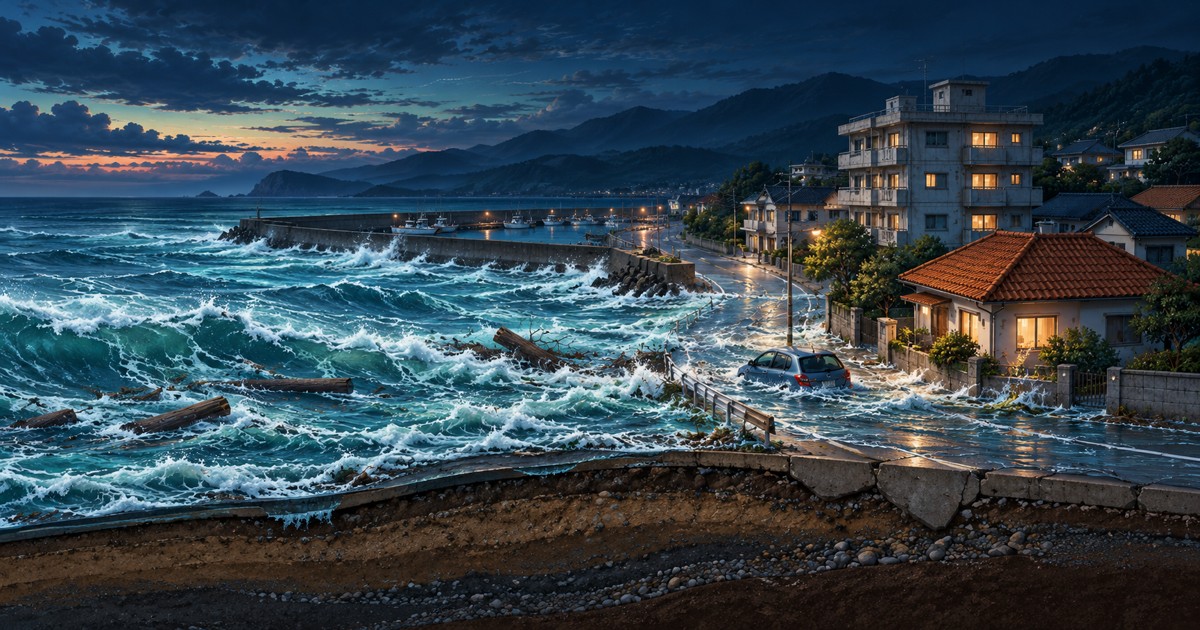
The ScaleTrip coast is a fictional teaching setting. Its reference buildings remain visible so the same scale can be compared, while debris motion illustrates mechanisms. This design supports a clear question—how the selected water column compares with model objects—without pretending to be a validated disaster forecast.
A still-water calculation isolates one component
Assume still water of constant density 1,025 kg/m³ on one side of a vertical wall and dry air on the other. At depth D, base gauge pressure is ρgD. Integrating pressure over a wall of unit width gives F/b = ½ρgD². Here g is chosen as 9.81 m/s².
At 1 m, that static force per width is about 5.03 kN/m; at 2 m it is about 20.11 kN/m. The fourfold change follows from D squared. It is not the complete tsunami force: flow speed, impacts, water inside the building, overtopping and other effects require a broader model.
A comparison is not an evacuation rule
Use the interactive depth choices to compare measurements and follow the calculation, not to decide whether a real coast is safe. Tsunamis can involve repeated waves and changing currents. In an actual event, local authorities and official warning services provide the actionable information.
A good explanation ends with both a measurement definition and a limit on its use. That combination lets a reader learn from a powerful visual without mistaking an illustrative replay for a forecast, an official warning category or a reconstruction of a particular neighbourhood.
Reproduce one result
Calculate this result using the definitions and assumptions in the article.
- Expression
- ½ × 1,025 × 9.81 × 2² / 1,000
- Calculated result
- 20.1105 kN/m
Check the numbers and their sources
Open a source to see what it supports. The picture is our explanation; the original evidence is linked below. These AI-assisted explanations have automated calculation checks, but no expert peer review.
IGN — Tsunami measurements
Separate sea-level-referenced height, local flow depth and runup elevation. Source record checked:
Read the original sourceEngineering Statics — Fluid statics
The worked load is a still-water component under stated assumptions, not a tsunami damage prediction. Source record checked:
Read the original sourceNOAA / NWS — Tsunami safety
Educational explanation complements, rather than replaces, local emergency instructions. Source record checked:
Read the original source