From recent eruptions to Tambora: size and disaster
Read an eruption through its material, style and hazard pathways, from recent activity to historical disasters.
- Recent notice (UTC)
- Sources checked
Recent observations change quickly
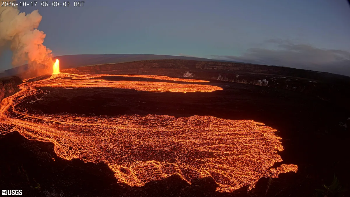
Kilauea’s low-level precursor to episode 56 fountaining began at 11:43 a.m. HST on 2 November. The 3 November UTC notice reported overflows and WATCH status.
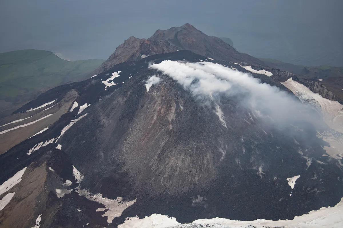
Great Sitkin’s 2 November UTC report described slow effusion and radar-confirmed growth. Follow later notices for updates.[1] [2]
One VEI step: roughly ten times the volume
VEI combines tephra volume, plume height and observations. Here, volume criteria grow tenfold per step. One 1 km cube holds 1 km³; 100 cubes give 100 km³. Two steps multiply by 100. Classes span ranges; lava extent and local hazards also matter.[3]
VEI 51 km³
VEI 610 km³
VEI 7100 km³
Tambora and the meaning of “largest”
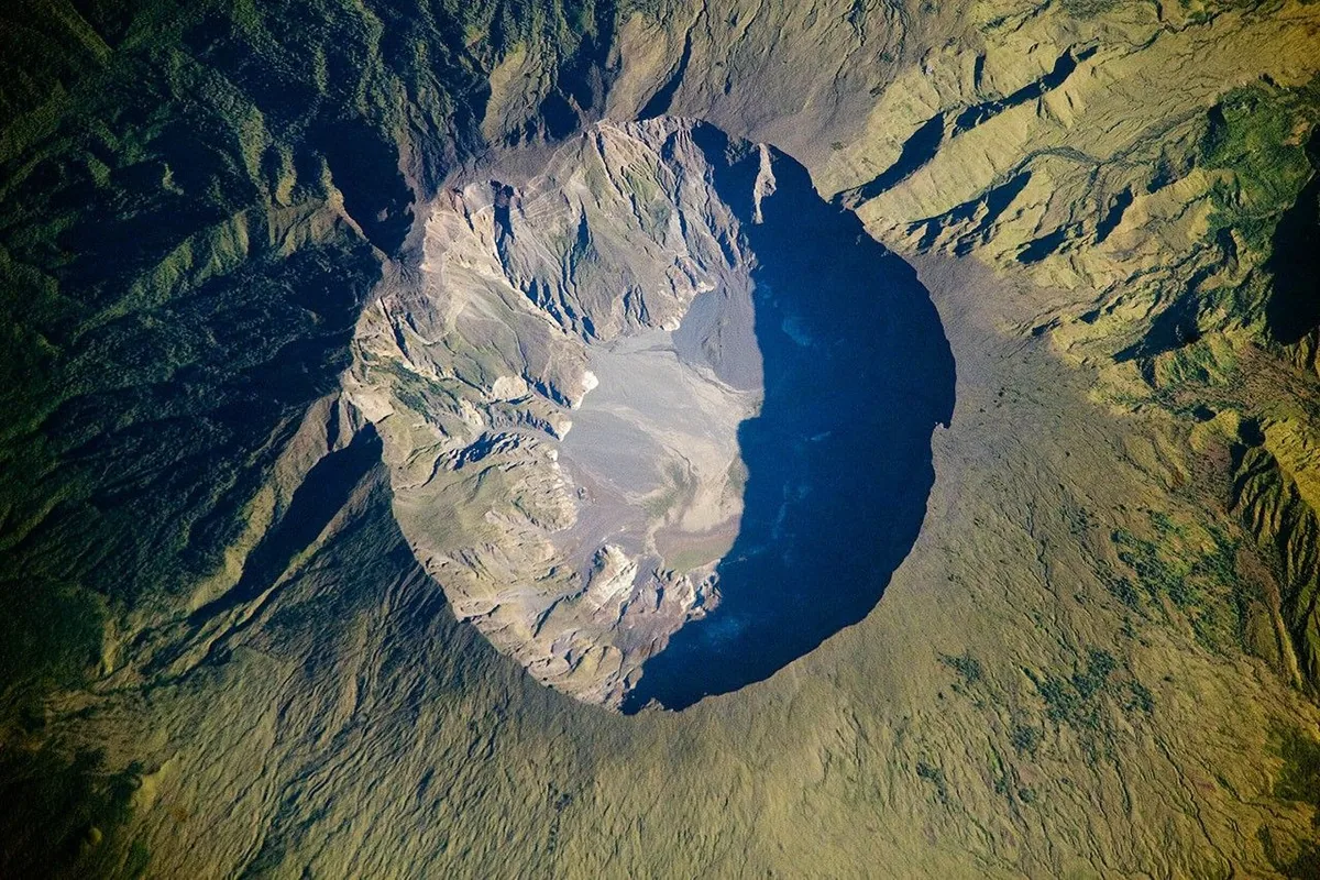
NASA describes Tambora’s 10 April 1815 eruption as recorded history’s largest, estimating 150 km³ of bulk tephra. Smithsonian lists VEI 7. Bulk volumes include pores and gaps; dense-rock equivalents use another basis.
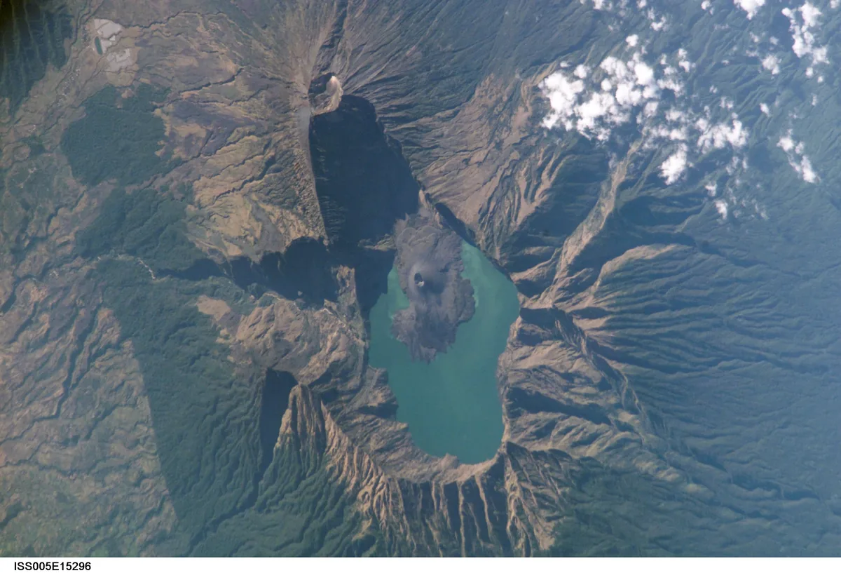
A 1257 Samalas reconstruction links chronicles, deposits and ice cores: at least 40 km³ dense-rock equivalent, possibly exceeding some Tambora estimates. Rankings depend on records and comparable quantities.[4] [6] [5]
Four severe human disasters
Selected USGS estimates since 1500 include indirect losses. Tambora leads this list. Counting scopes vary; these figures compare deaths.[7]
| Eruption | Deaths (est.) | Main pathway |
|---|---|---|
| Tambora · 1815 | 92,000 | Includes famine |
| Krakatau · 1883 | 36,000 | Tsunami |
| Mont Pelée · 1902 | 29,000–30,000 | Pyroclastic flows |
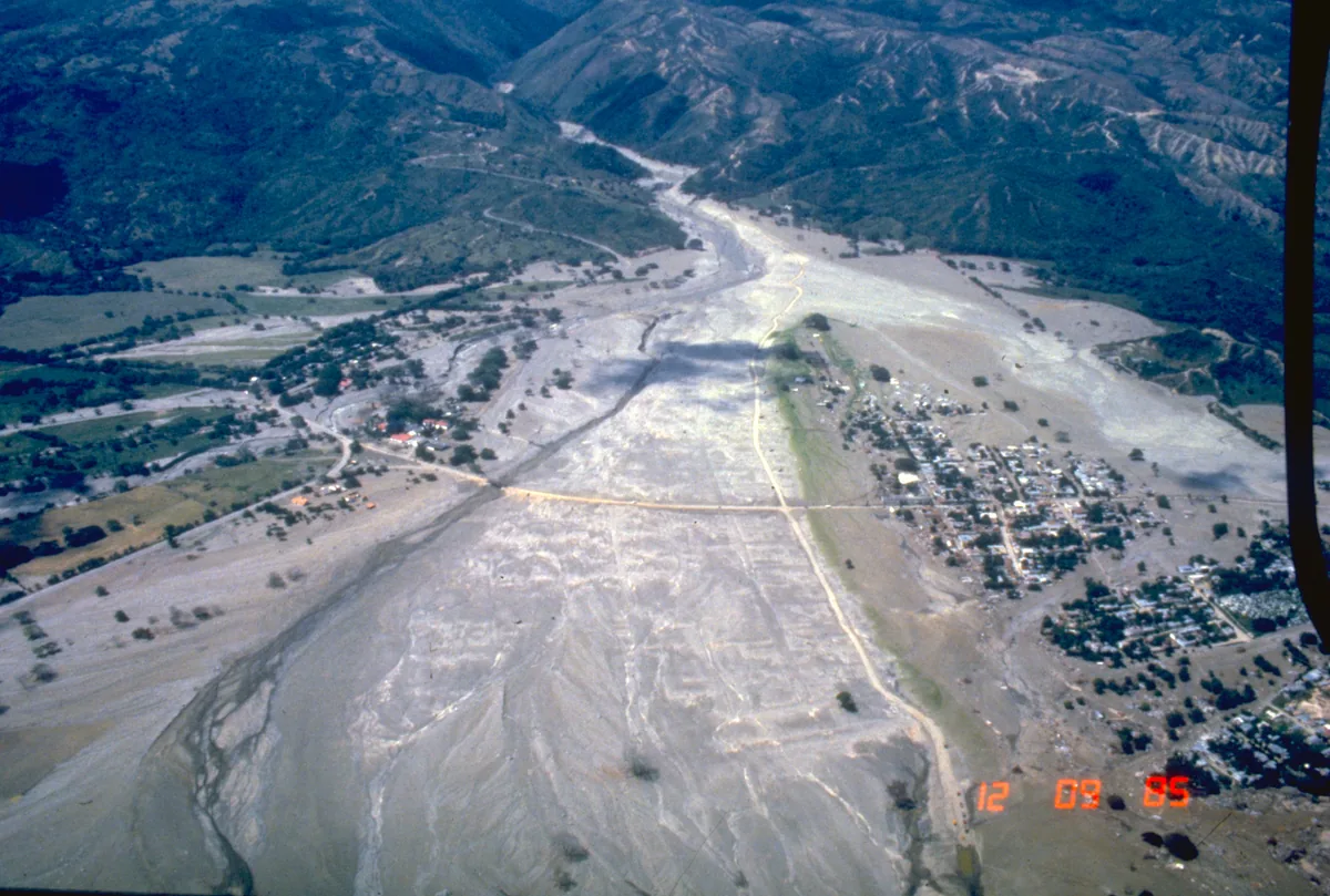
| Nevado del Ruiz · 1985 | 25,000 | Lahars |
Water, rivers and food carry the consequences
Krakatau’s tsunami struck coastal towns. Mont Pelée’s pyroclastic flows carried hot gas, ash and rock.
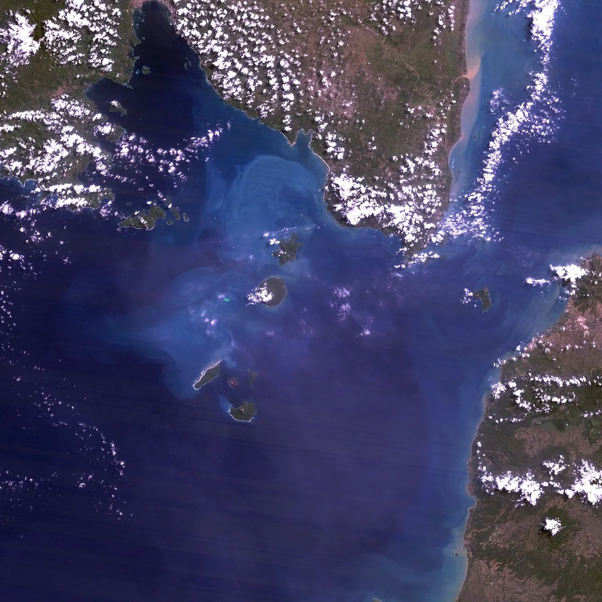
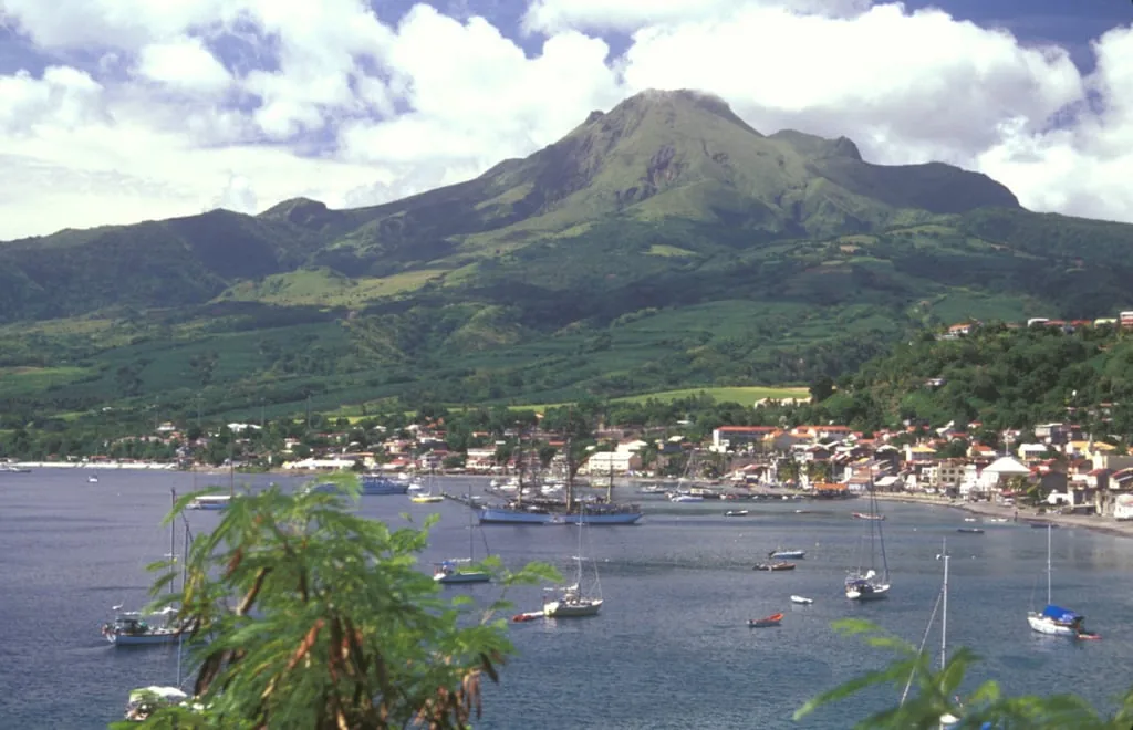
At Ruiz, hot material melted ice, forming lahars of water and debris. USGS reports 100 km of travel within two hours, reaching downstream towns.
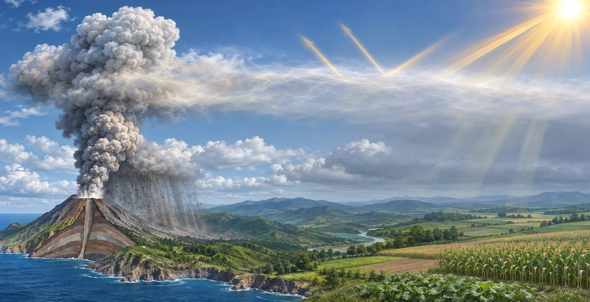
Tambora’s sulfur dioxide formed sunlight-reflecting sulfate aerosols. Climate disruption contributed to harvest failure and hunger; 1816 became the “year without a summer”. Effects persisted beyond the eruption.[9] [10] [8] [7] [4]
Turn the numbers into preparation
Check hazard maps and designated routes. Valleys can carry lahars. Follow observatory reports and local instructions; ash and lahars call for different actions. Population, terrain and response time shape losses.[11]
Sources and scope
- USGS · HVO
3 November UTC precursor notice
- USGS · AVO
Great Sitkin lava effusion
- USGS · VEI
Volume criteria and observations
- NASA · Tambora
1815; bulk tephra estimate
- Smithsonian · GVP
Tambora VEI 7 and eruption record
- Lavigne et al. · PNAS
1257 reconstruction; dense-rock basis
- USGS · Historical losses
Deaths since 1500; source estimates
- Self et al. · GRL
Sulfur and aerosols
- NOAA · NCEI
1883 Krakatau tsunami
- USGS · Ruiz
1985 ice melt and lahars
- USGS · Preparedness
Maps and actions